Today’s post continues my series of scenes that were cut from the book A Place of Her Own before its publication. In each of the scenes from my point of view I always started at a particular special place on the farm, where my thoughts would lead me to Martha and her situation. Then I would open Martha’s next chapter in the same location with her remembering back to her story. The editor found this too contrived, which it was. We changed that format. But I still like some of the descriptions of the places, like this one, and I believe my traipsing across the farm to these places, and thinking of Martha at each one, helped me get closer to her, even if many of those descriptions were cut. Clip…..

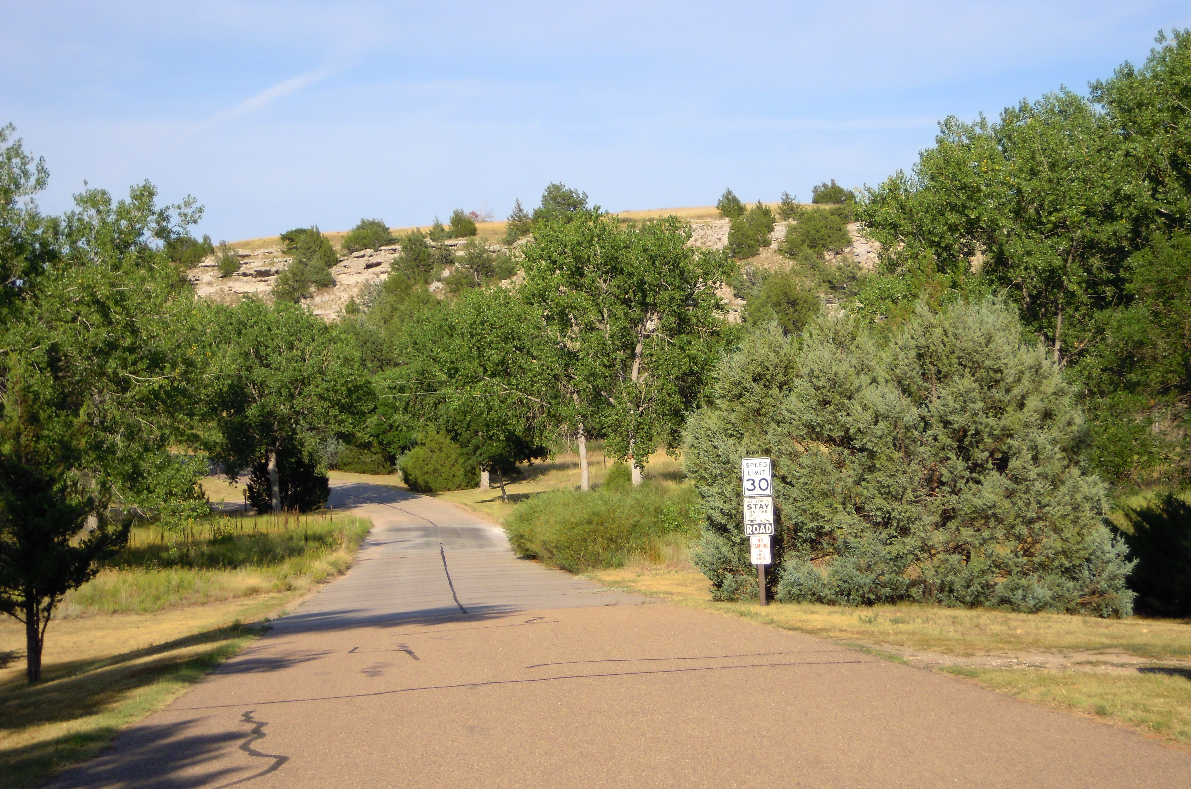
My kids’ good old dog William resting with me on the bluff.
Photo by Robin Loznak
The bluff, September 2010. I hopped onto the outcropping of large flat boulders overlooking a steep drop to the valley floor. Moss formed a patchy carpet on the stones, tufts of grass filling the crevices. I smiled. The bluff brought back memories of games my sister, Nancy, and I used to play. We would lie down at the edge of the overhang and keep watch on happenings below, filling our minds with imagined danger and excitement.
My daughter Carisa, with me today, stepped up beside me. An entire summer had passed since last I wandered the hills and fields of the farm seeking special places Martha might have walked in order to know this new land of hers.
Now it was fall. The first fall rains had come, but it was supposed to be clearing again, heading into the usual warm Indian summer. Dark gray clouds boiled overhead with a few bits of blue offering promise. Our coats still felt damp from the shower that caught us on our way here. I thought about Martha and the wanderlust that brought her to this place–her husband’s, but probably hers as well. What kind of danger and excitement did she face?
The soft, moist air wrapped around us as we stood on this hillside overlook, screened by the oak and myrtle trees that enclosed the bluff, giving it a pleasant feeling of seclusion, as if we could see out but might be comfortably hidden from any watchers outside. A young twisted oak stood directly out from the rimrock, offering glimpses between its branches of the lower fields and the wide green river flowing gently past. A grassy bench of land swept up from the bluff to the right, while a bank rose sharply behind, adding to our sense of enclosure.
In years past my sister and I used to take a trail to get here, a narrow animal trail that bit into an almost perpendicular hillside on our left. This time Carisa and I had taken the newer, easier route from the other direction, coming up a steep logging road, the Tree Farm Road, where a sign on the gate marked our designation as a certified Tree Farm.
In fact, before I could start the rough draft of this book I had to stop and write a new timber management plan and have the operation reviewed in order to be certified as my father had been. More than once, farm needs would pull me away from this story focused on the farm.
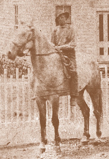
Did Martha come up here? Did she stand on these mossy rocks and contemplate the journey of her life that brought her to this lovely wilderness so terribly far from home? Whatever happened to her parents, Thomas and Maxy Poindexter? I doubt she ever saw them after that trip to Illinois for the birth of Leonora, a birthplace recorded by multiple census records that let me know Martha made the trip to have the child there. . . .
Questions haunted me as I plunged forward with this project. With other books, I’d often had the eerie feeling that stories were coming to me from somewhere–or someone–outside myself. I would set up a framework and ideas would flood in. That feeling hit much stronger this time, as if the messenger were closer to me. I wished whoever was sending these messages would refrain from flooding me with them at four in the morning. But I knew well that state of openness on the edge of sleep before the doubts of an awakened mind rose, letting the stuff of dream and spirit enter in.